Flash flood warning issued in Boston as storms wreak havoc in Massachusetts
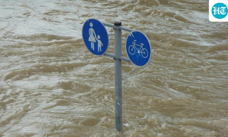

The National Weather Service (NWS) issued a flash flood warning for portions of Southeastern Massachusetts and Rhode Island. Motors were faced with low visibility, flooded roads on Thursday morning. The NWS hinted at the possibility of unexpected urban flooding caused downpours that brought rainfall rates up to two inches per hour in some places, reported The Boston Globe. Flash Flood Warning in Boston as Heavy Rains and Severe Storms Batter Massachusetts(Representative image/Pixabay) Residents in low-lying areas were cautioned officials to evacuate to higher ground and refrain from driving through standing water. It is anticipated that the warnings will stay in force until the wee hours of the morning, stated another Patch report. Timeline of the stormMeteorologs said that the area saw two rounds of rainfall, of which the first hit Greater Boston and southeastern Massachusetts in the morning. A more widespread band of rain is set to hit the areas on Thursday afternoon and continue till evening, the Boston Globe report added. It further stated that the heaviest rainfall is expected to hit south-central and southwestern New England, including Rhode Island and Connecticut. Northern New England regions from Maine to New Hampshire are also expected to receive pockets of heavy showers through the evening. Isolated severe thunderstorms will possibly hit west of Boston, with damaging winds and intense downpours. Also read: Beacon hill shooting: 3 rushed to hospital as ‘naked’ man with ‘large knife’ shot Boston police Rainfall totals and flooding risk midnight, most of southern New England is expected to receive one to three inches, with rainfall exceeding three inches in some areas. The ground, already dry and brittle from recent drought conditions, is unable to absorb the sudden deluge, which increases the chance of flash flooding, The Boston Globe report stated. The I-95 corridor from Warwick into Providence and north through Attleboro was highlighted as a hotspot for flash flooding, with standing water forming dangerous driving conditions. Major roadways, underpasses, and streams are all at risk of seeing rapid overflow of water. Gusty winds add to concernsIn addition to the rain, Boston, Worcester, Providence, Cape Cod, and Springfield are all expected to have gusty winds of at least 30 mph. Temperatures will rise into the upper 60s and low 70s because of warm, humid air brought in strong southerly winds ahead of the storm system. Clearer skies are expected for Friday, and summer-like warmth will return as the weekend begins. Showers will start to ease up tonight, the Patch report stated. FAQs:Q: Which areas are currently under flash flood warnings?A: Southeastern Massachusetts, particularly near New Bedford and Fall River, as well as parts of Rhode Island. Q: How much rain is expected today?A: Between 1 and 3 inches across much of southern New England, with some spots seeing up to 3 inches midnight. Q: Will there be thunderstorms?A: Yes, isolated severe thunderstorms are possible, especially west of Boston, with damaging winds and heavy rainfall as the main risks.